Mapping – Surveying

Aerial Surveying and Mapping
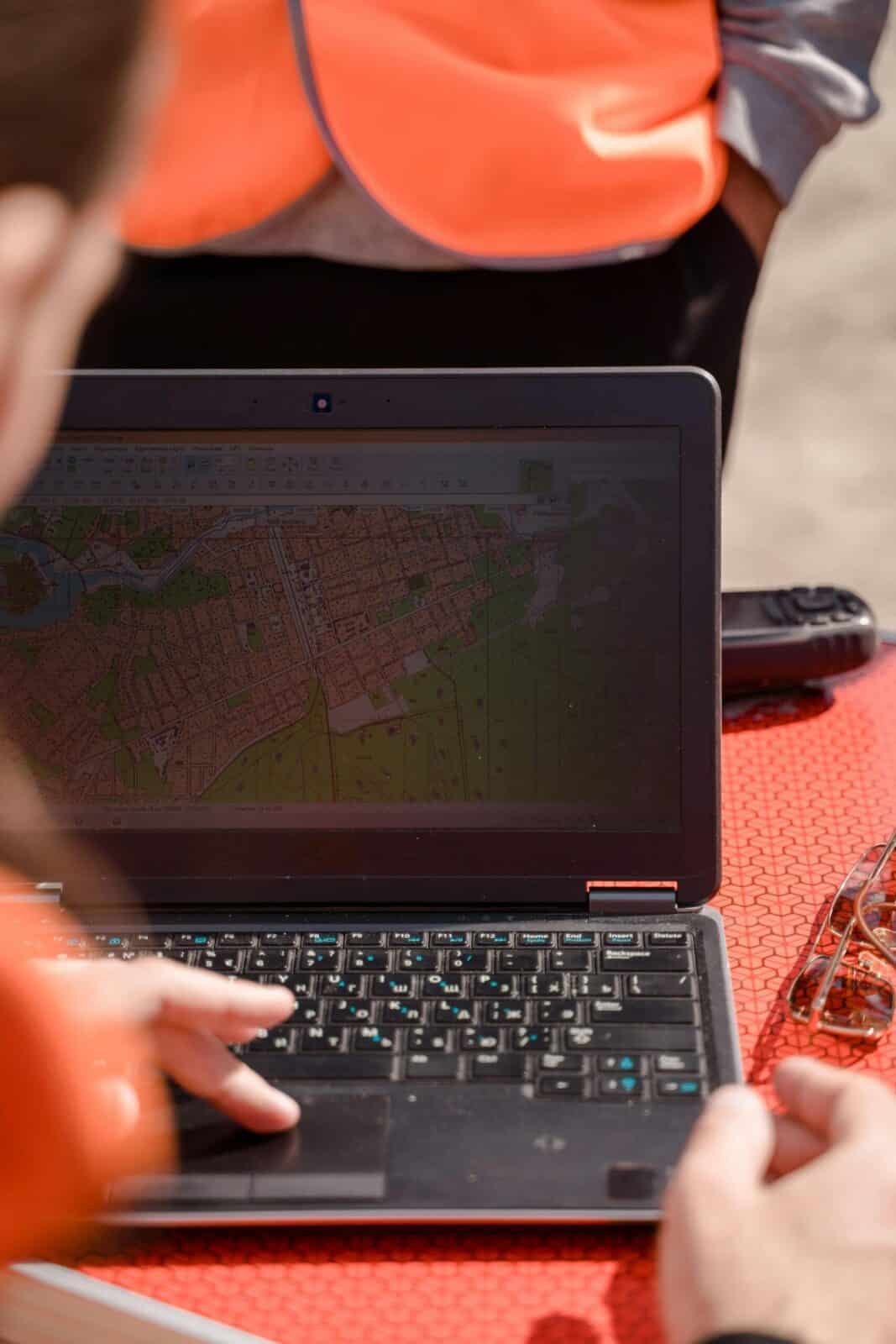
We provide precise aerial surveying and mapping services using our Mavis 3M Multispectral done. After mapping the area with our mapping drone, we develop a tailored spraying or spreading plan that ensures exact product and water rates. Thanks to RTK GPS technology, our drones achieve centimetre-level accuracy for highly precise operations.
Our aerial drone mapping services include both RGB and multispectral imagery, with Mavic 3M multispectral capabilities available for detailed crop health analysis and other specialised applications. This allows us to deliver comprehensive insights for efficient field management.
